Find the right drone for your operation.
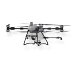
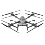
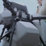
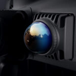
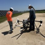
Built for large-scale operations, the T100 is a workhorse engineered to boost productivity without compromising precision. Advanced autonomous flight systems and modular payloads make it an ideal solution for commercial applicators and high-acreage farms.
The T100 delivers ~10.6 gal/min spray flow, 882 lb/min spreading capacity, and a spray width of up to 43 feet. Intelligent route planning and automated aerial operations help cover more acres with fewer flights, reducing labor while maximizing efficiency.
Spray Tank
Spread Tank
Lift Capacity
Spray, Spread, Lift
Want pricing and more info?
Talk to us and we’ll help you find the best kit for your needs.
Want pricing and more info?
Talk to us and we’ll help you find the best kit for your needs.
Built for large-scale operations, the T100 is a workhorse engineered to boost productivity without compromising precision. Advanced autonomous flight systems and modular payloads make it an ideal solution for commercial applicators and high-acreage farms.
The T100 delivers ~10.6 gal/min spray flow, 882 lb/min spreading capacity, and a spray width of up to 43 feet. Intelligent route planning and automated aerial operations help cover more acres with fewer flights, reducing labor while maximizing efficiency.
Spray Tank
Spread Tank
Lift Capacity
Spray, Spread, Lift
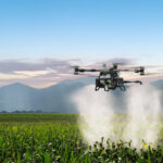
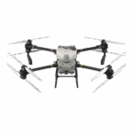
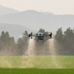
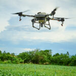
The DJI Agras T50 delivers professional performance in a versatile platform designed for farms of every size. Combining precision spraying, spreading, and intelligent automation, it helps operators work faster while maintaining exceptional application accuracy.
The T50 features up to 6.3 gal/min spray flow, 238 lb/min spreading capacity, and a spray width of up to 36 feet. Whether treating row crops, pasture, or specialty fields, it provides efficient coverage with fewer passes and reduced ground impact.
Spray Tank
Spread Tank
Field Operations
Spray / Spread
Want pricing and more info?
Talk to us and we’ll help you find the best kit for your needs.
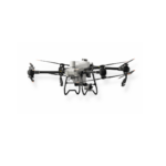
The DJI Agras T50 delivers professional performance in a versatile platform designed for farms of every size. Combining precision spraying, spreading, and intelligent automation, it helps operators work faster while maintaining exceptional application accuracy.
The T50 features up to 6.3 gal/min spray flow, 238 lb/min spreading capacity, and a spray width of up to 36 feet. Whether treating row crops, pasture, or specialty fields, it provides efficient coverage with fewer passes and reduced ground impact.
Spray Tank
Spread Tank
Field Operations
Spray / Spread
Want pricing and more info?
Talk to us and we’ll help you find the best kit for your needs.
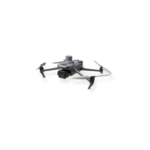
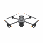
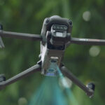
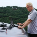
The Mavic 3M gives commercial operators a faster, smarter way to analyze and manage their land. It combines high-accuracy RGB imaging with multispectral data for mapping, surveying, and crop health analysis.
Using the Mavic 3M, a single farmer can independently manage and scout up to 173 acres of land daily. Real-time AI mapping dramatically reduces the time required to scout fields and inspect job sites.
Multispectral
RGB
in a Single Flight
Flight Time
Want pricing and more info?
Talk to us and we’ll help you find the best kit for your needs.
Want pricing and more info?
Talk to us and we’ll help you find the best kit for your needs.
The Mavic 3M gives commercial operators a faster, smarter way to analyze and manage their land. It combines high-accuracy RGB imaging with multispectral data for mapping, surveying, and crop health analysis.
Using the Mavic 3M, a single farmer can independently manage and scout up to 173 acres of land daily. Real-time AI mapping dramatically reduces the time required to scout fields and inspect job sites.
Multispectral
RGB
in a Single Flight
Flight Time
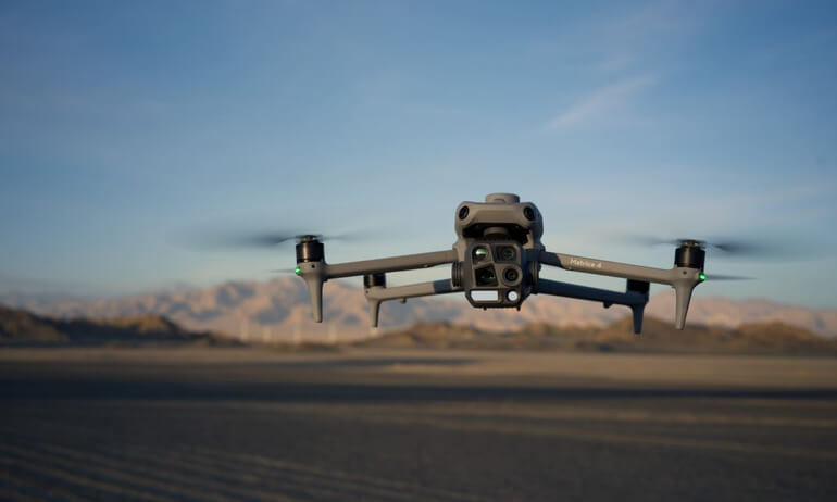
Despite its compact design, the multi-sensor 4T comes with extensive detection capabilities.
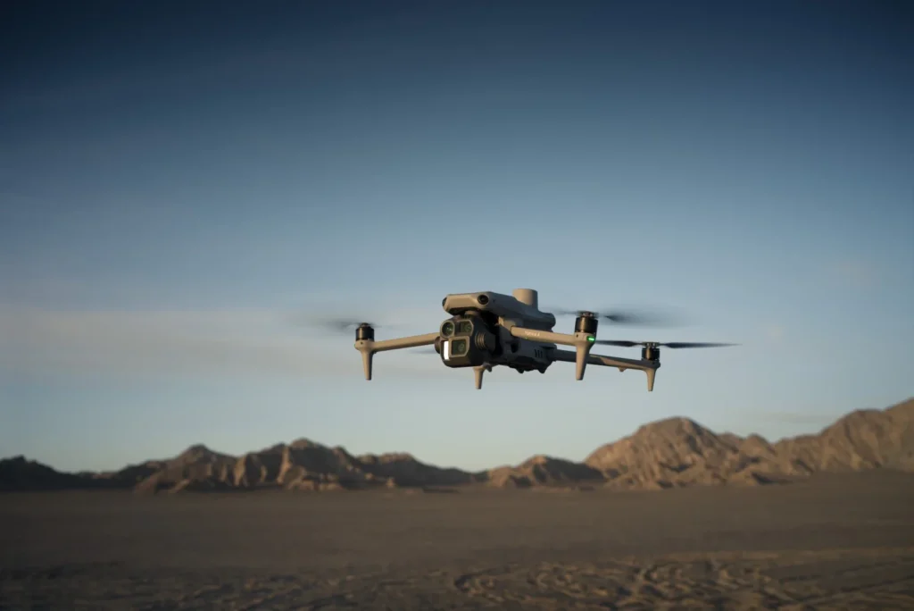
The 4E delivers professional imaging and intelligent flight features for a variety of commercial applications.
Customize your DJI platform with components that keep you flying longer, working smarter, and tackling specialized missions.
Keep your operation moving with 11500W fast charging for all-day productivity.
Stay airborne longer with spare batteries and field-ready power solutions.
Expand your capabilities with specialized cameras, sensors, and lifting systems.
Boost GPS accuracy for precision surveying, mapping, and farming.
Providing Sales, Service, and Startup Support
FAA Certified Pilots – DJI Certified Ag & Enterprise Dealers – Authorized Repair Technicians